Ray Purdy discusses how a new space detective agency can offer lawyers access to evidence from satellites & drones
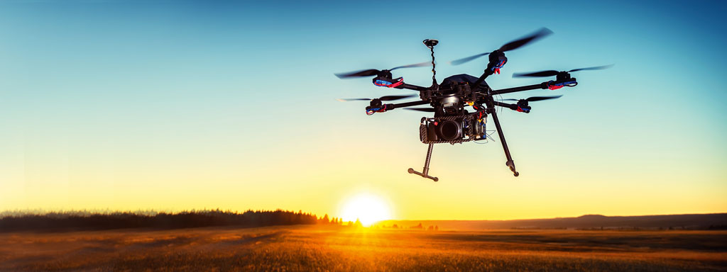
Have you ever wished you could go back in time and see what was going on at a certain place at a particular time? This is now increasingly possible. Expanding archives of information from satellites, unmanned aerial systems (drones) and aircraft can provide historical evidence that would otherwise be unavailable.
Because of this, the world’s first “space detective agency”, Air and Space Evidence, was recently established in the UK, specialising in sourcing archived data that could assist as evidence in legal cases, criminal investigations or insurance claims.
The company was started by two University College London academics, Ray Harris (geography) and me (law). Our research found that while most lawyers would have looked at Google Earth, most of them had no understanding of the evidential opportunities these technologies presented and had never considered using such imagery in a legal context. Where lawyers had tried to source imagery they often found that archives were not set up with non-technical users in mind.
We increasingly